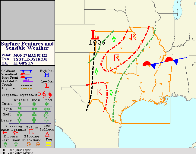
|
1
|
|
|
2
|
- Emphasizing 10 years expertise in the aviation industry
- An aviation technology company
- Transportation safety technology to save lives
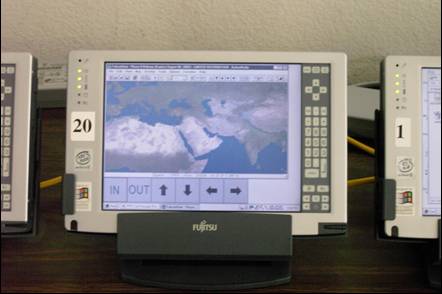
- Software applications to maintain situational awareness
- Data processing and provisioning services
- A heritage of defense contracting
- Technology from $5M of government funding
- Current Sponsor is U.S. Military and avionics industry
- Applying government research achievements to industry and commerce
|
|
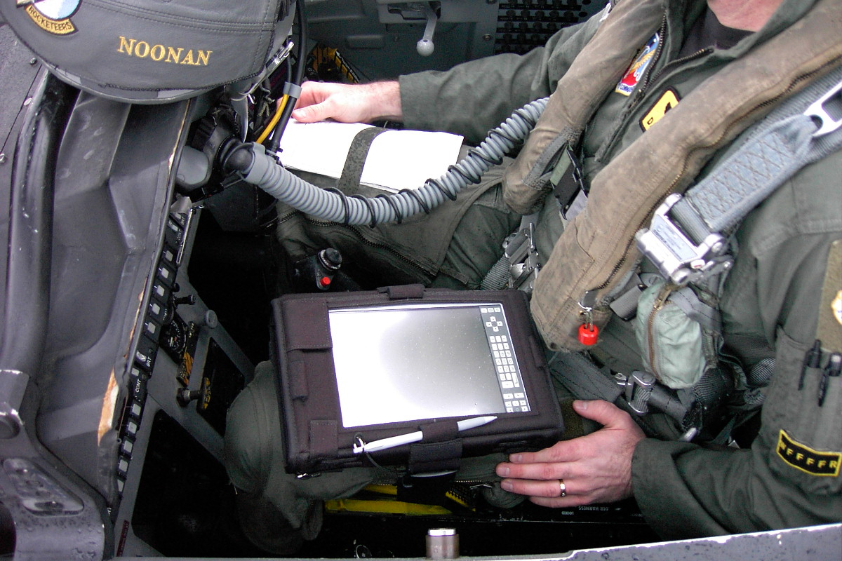
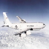
3
|
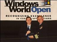
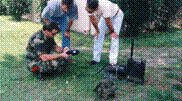
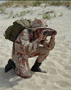
- Laptop used by co-pilot in Navy E-2C Hawkeye
- Multi-window application included terminal procedures, airport diagrams,
enroute charts, DAFIF, CADRG, DTED, CIB, LANDSAT,and JTIDS
traffic/intel.
- Flight tested at Fallon NAS, NV and then deployed globally.
- Endorsed and funded by Admiral Archie Clemins, CINCPACFLT
- Award presented to Navy sponsor by Bill Gates
|
|
4
|
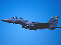
- We demonstrated System with aircraft at Hurlburt AFB, Florida.
- System used digital data messaging without the errors common in voice
communication.
|
|
5
|
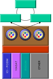
- ARINC-424 Aeronautical Data
- Flight Management System format utilities
- Graphic Rendering Engines
- End User Applications
- Data Warehousing
- Web Distribution
- Commercial Customers include Honeywell, BAE, Litton and NASA.
|
|
6
|
- 18-month development under Air Expeditionary Force and Air Mobility
Command Battlelabs.
- The Battlelab is a unique organization focused on rapidly introducing
high payoff initiatives that:
- Reduce mobility response time.
- Reduce deployment support structure.
- Increase deployed combat capability and effectiveness.
|
|
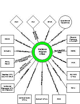
7
|
|
|
8
|
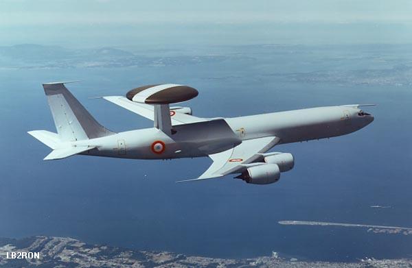
- KC-135
- C-130
- B-2
- A-10
- Ground Users
- Others
|
|
9
|
|
|
10
|
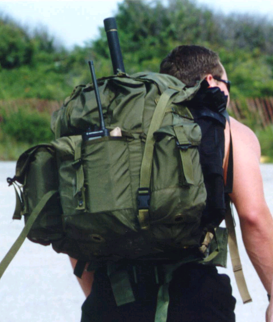
- PACMAN Pen Computer
- GPS Receiver (or interface to A/C nav)
- Multiple 2 ½-hour Batteries (or A/C power)
- Custom kneeboard case
- Data Modem
- Cabling to A/C Radio
- Custom cable bundles
- Map Server for Squadron
- Firewall/Router/Network Switch
|
|
11
|
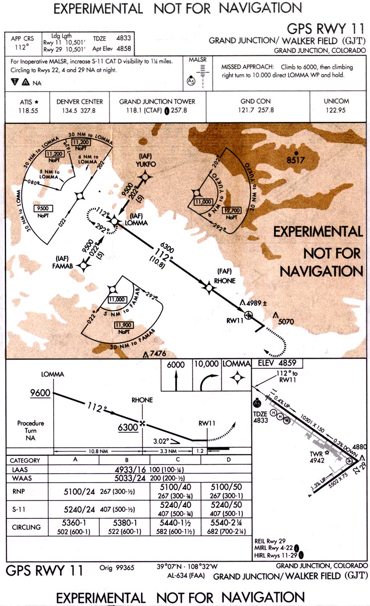
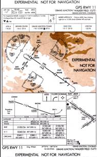
- 1. GPS-Moving Map
- 2. Interactive aircraft checklists
- 3. Airport Terminal Procedures
|
|
12
|
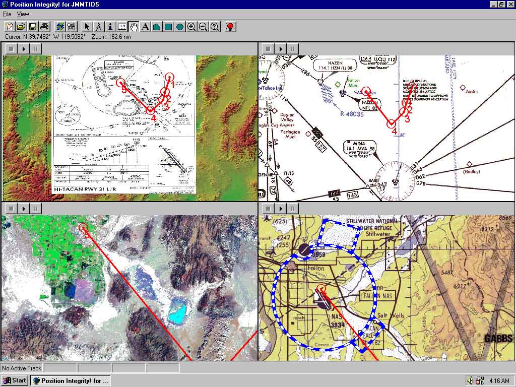
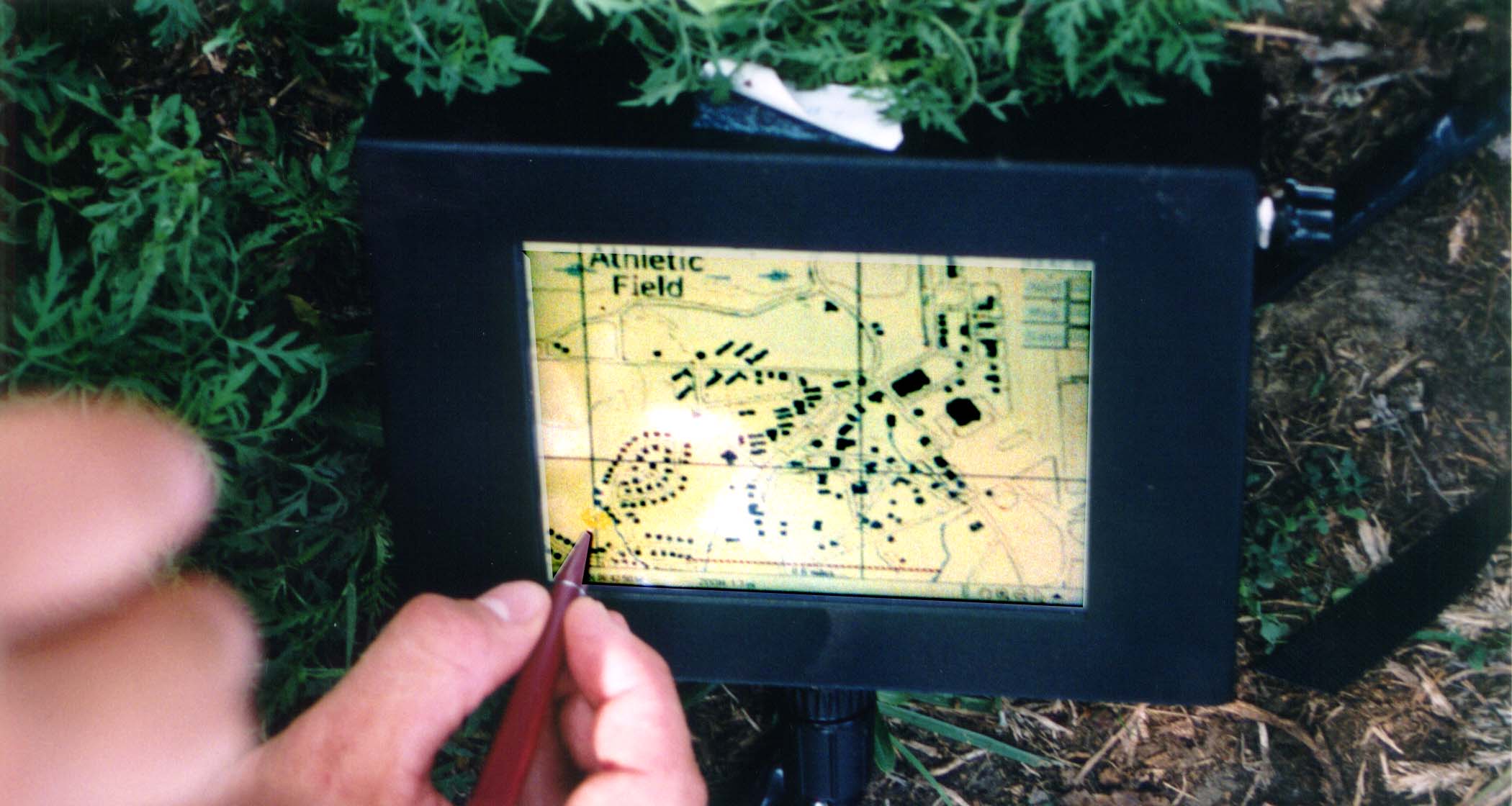
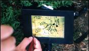
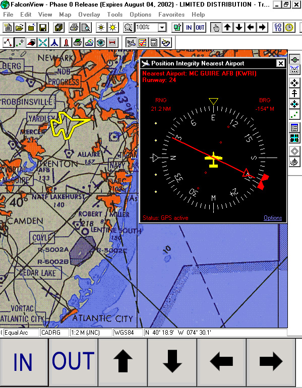
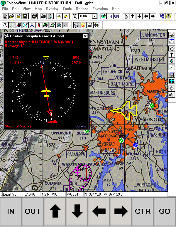
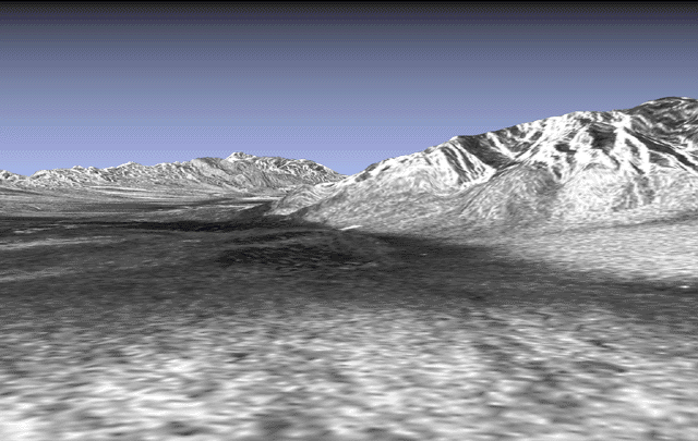
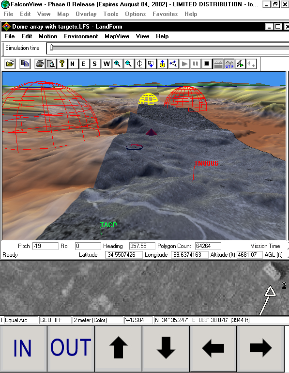
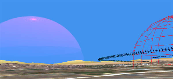
- NIMA Raster Charts for background
- DAFIF vector overlays (airports, SUAS, etc.)
- Own position updated in real time
- North up or track up
- Find Nearest Airport Function based on Aircraft’s runway length
requirement
|
|
13
|
|
|
14
|
|
|
15
|
|
|
16
|
|
|
17
|
|
|
18
|
- We currently process 11,000 terminal charts per update in raster for General Aviation.
- Provide HTML hypertext linking of airports to procedures.
- PACMAN needs to accommodate new
multicolor format.
- Must include NOTAM distribution mid-cycle.
- Vector Procedures planned by FLIP DWG for DAFIF Ed 8
(Summer 04) is not soon enough.
- Conducted TEM #1 with NIMA to accelerate.
|
|
19
|
|
|
20
|
|
|
21
|
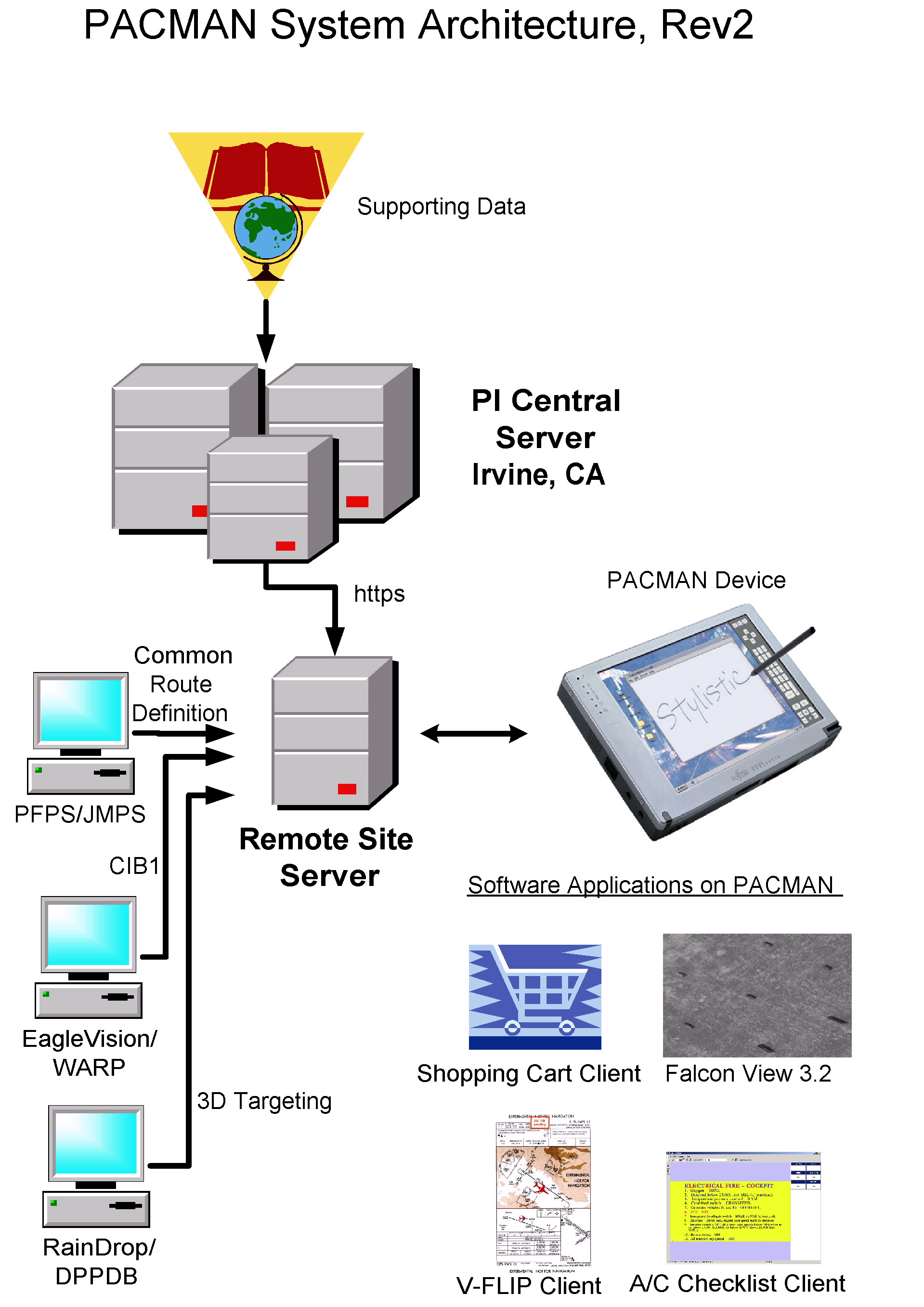
- PACMAN device is designed to operate autonomously in aircraft.
- Irvine- and Pentagon-based Central servers provide replenishment of
current databases.
- Remote servers overcome bandwidth limitations at decentralized sites.
- PACMAN team installing the first prototype server.
|
|
22
|
- Squadron-level Map Server
- New 3D
- Weather
- Messaging Network
- Traffic
|
|
23
|
|
|
24
|
|
|
25
|
|
|
26
|
|
|
27
|
- 1: Email with Attachments
- 2: Own Position Reports
- 3: “John Madden” graphics
- 4: Update of real-time GeoTIFFs
- 5: Weather updates
|
|
28
|
|
|
29
|
- Transparent to user
- Asynchronous
- Bandwidth independent
- Point-to-Point or Multi-cast
- SATCOMs supported.
- Extensive list of radios and protocols.
|
|
30
|
|
|
31
|
|
|
32
|
- Thank you!
- Robert A. Severino
Position Integrity, LLC
5 Los Gatos
Irvine, CA 92612-2982
949-854-2643
fax 949-854-7608
- bob@positionintegrity.com
- www.pacman-dod.org
|

 Notes
Notes